Author: Maria Temming / Source: Science News
A new analysis of satellite images and seismic waves from North Korea’s nuclear test site support theories that the underground facility has at least partially collapsed.
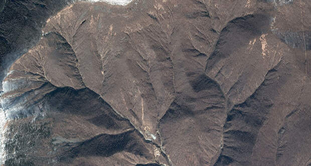
Seismologists across the world have been tracking the clandestine nuclear weapons program for years by analyzing vibrations that emanate from explosions at the test site under Mount Mantap (SN: 8/5/17, p. 18). Now, researchers have paired 3-D satellite images of Mount Mantap with seismic tremor data to simulate how the mountain’s interior might have changed after a hydrogen bomb test on September 3, 2017.
The simulations indicate that the blast — which triggered…
The post Satellite data backs theory of North Korean nuclear site collapse appeared first on FeedBox.