Author: Lisa Grossman / Source: Science News
The first global maps of Pluto and its moon Charon are now available, putting a bookend on NASA’s New Horizons mission.
“From a completionist’s point of view, they are all the good data we have, stitched together into a coherent, complete mosaic,” says planetary scientist Ross Beyer of NASA’s Ames Research Center in Moffett Field, Calif.
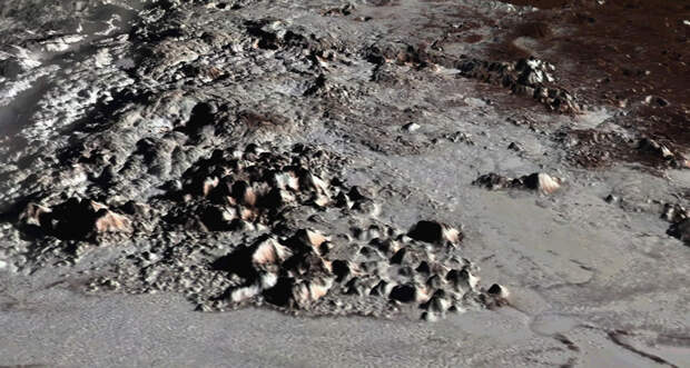
The charts focus on the 42 percent of Pluto and 45 percent of Charon where New Horizons snapped images from at least two angles during its 2015 flyby, revealing the landscapes’ height and depth (SN: 6/27/15, p. 16).
These measurements add topographic detail to already familiar features. For instance, the smooth plains of Pluto’s distinctive, heart-shaped ice sheet, known as Sputnik Planitia, lie two to three kilometers…
The post First global maps of Pluto and Charon show the worlds’ highs and lows appeared first on FeedBox.