Author: Laurel Hamers / Source: Science News

Satellites may be a more accurate way to track smog-producing ammonia.
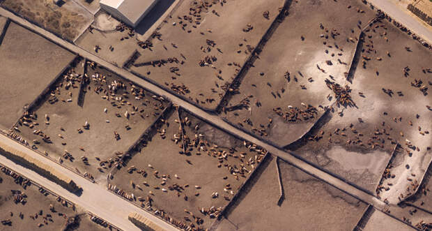
It’s notoriously tricky to pinpoint accurate numbers for ammonia gas emissions from sources such as animal feedlots and fertilizer plants. But new maps, generated from infrared radiation measurements gathered by satellites, reveal global ammonia hot spots in greater detail than before. The new data suggest that previous estimates underestimate the magnitude of these emissions, researchers report December 5 in Nature.
In the atmosphere, ammonia, which contains nitrogen, can help form tiny particles that worsen air quality and harm human health. The research could help keep tabs on who’s emitting how much, to make sure that factories and farms are meeting environmental standards.
Emissions are usually estimated by adding up output from individual known sources of activity, but those calculations are only as good as the data that go into them. Ammonia sticks around only hours to a few days in the atmosphere, so on-the-ground measurements vary a lot even in the same place, says coauthor Martin Van Damme, an atmospheric scientist at the Université Libre de Bruxelles in Belgium.
“There’s so much uncertainty in ammonia emissions,” says Daven Henze, a mechanical engineer at the…
The post Satellites make mapping hot spots of ammonia pollution easier appeared first on FeedBox.